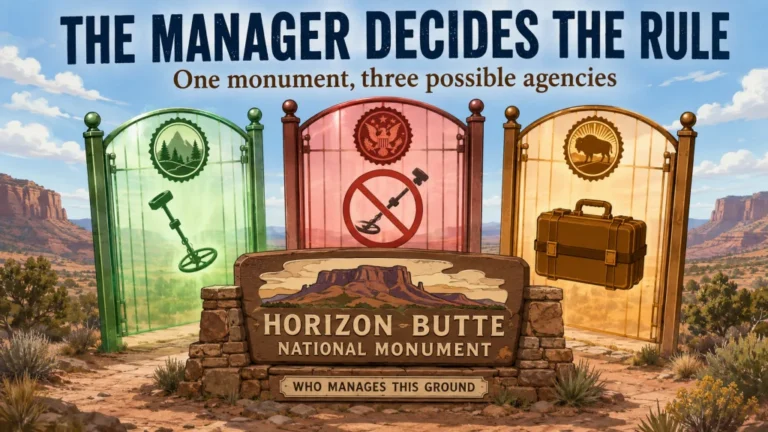
BLM land and National Forest land are not automatically open to every kind of metal detecting. The answer changes with the surface manager, the exact unit, the target you intend to search for, what you plan to keep, how much ground you will disturb, and whether protected resources or existing mineral rights are involved. Mineral prospecting may be authorized where artifact hunting is not, while a local order can make a seemingly ordinary search require a permit or prohibit it entirely. The practical rule is to classify the activity first, verify the exact parcel and local office second, and get a clear answer before the coil touches the ground.
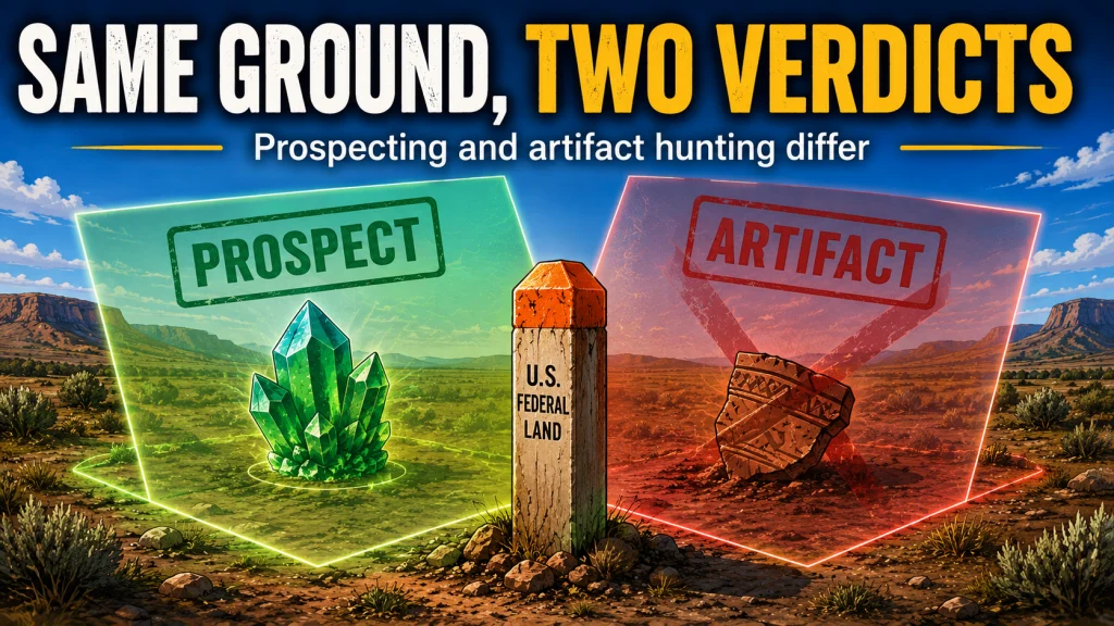
The Land Label Is Not the Permission
Metal detecting on BLM and National Forest land cannot be reduced to a single yes or no. A map may show federal land, but that label does not tell you whether the parcel is open to mineral entry, inside a specially managed area, covered by a temporary closure, crossed by a private inholding, occupied by an active mining claim, or protected because of cultural resources. It also does not tell the agency what you intend to do, and that intended activity often changes the answer.
The first distinction is purpose. Searching for naturally occurring gold is not the same activity as searching an old cabin site for coins, tools, military objects, or other historic material. Looking for a recently lost wedding ring is different again. Before using broader advice about verifying parks and other public land, narrow the question to one manager, one location, one target class, and one collection plan.
Important: This article covers land administered by the Bureau of Land Management and the U.S. Forest Service. National Park Service and Bureau of Reclamation land follow different frameworks and are outside this article’s scope.
Federal rules, local orders, closures, land-use plans, and office guidance can change. Confirm the current rule with the office managing the exact area before every hunt, especially when the trip involves prospecting, digging, a historic location, a special designation, or any uncertainty about land status.
Identify the Surface Manager, Unit, and Boundary First
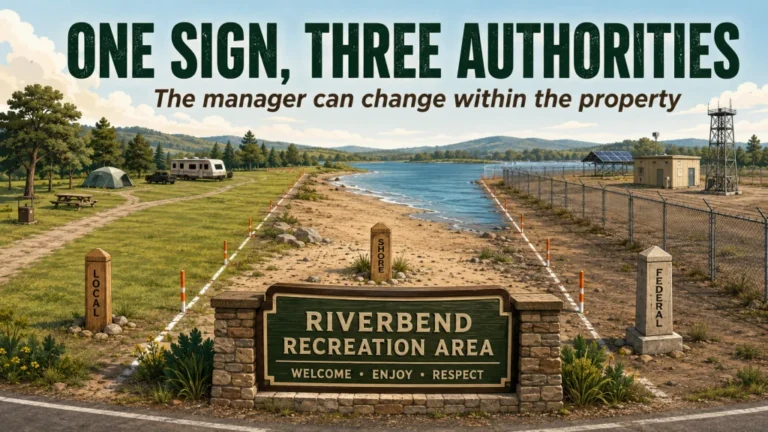
The correct starting point is the land record, not the detector. A federal-looking parcel can contain overlapping interests, irregular administrative boundaries, private inholdings, state land, county roads, patented mining ground, or federal surface over nonfederal minerals. A phone map that paints a broad block one color is a starting clue, not proof that every acre inside the colored shape has the same status.
For BLM ground, identify the state office, district office, field office, named recreation or conservation unit, and the exact road, drainage, township-range-section, or coordinates involved. For National Forest System land, identify the National Forest or Grassland, ranger district, named special area, and the relevant forest order page. If you cannot name the local office that would answer your question, you have not finished identifying the land.
- Confirm the surface manager rather than assuming the agency from a nearby sign.
- Check whether the parcel is an inholding, split-estate tract, or other boundary exception.
- Identify any wilderness, national conservation land, research natural area, historic property, developed recreation site, or other special designation.
- Record coordinates and a recognizable road, trail, drainage, or site name before contacting the office.
- Check current alerts, closures, fire restrictions, and posted orders for the planned date.
This boundary work prevents the most expensive kind of mistake: getting a correct general rule for the wrong parcel. It also makes an agency call useful because the employee can evaluate a defined location instead of trying to answer a vague question about millions of acres.

Garmin eTrex 32x is a handheld GPS navigator with a 2.2-inch sunlight-readable color display. It comes with TopoActive maps and supports GPS and GLONASS satellite systems. It also includes 8 GB of internal memory, a microSD card slot, a 3-axis compass, and a barometric altimeter.
Check On AmazonIf you click this link and buy, we earn a commission at no additional cost to you.
Classify What You Intend to Search For
The phrase “metal detecting” describes a tool, not a legal purpose. Agencies may evaluate mineral prospecting under mining and surface-disturbance rules, while cultural-resource laws and regulations govern archaeological or historic material. Recreation rules, developed-site rules, special-area orders, and local permits may control searches for modern lost objects. One detector can therefore be acceptable for one stated purpose and unacceptable for another at the same general location.
Write your purpose in one sentence before checking any rule. “I want to use a handheld detector and small hand tool to look for naturally occurring gold with minimal disturbance” gives an office something concrete to evaluate. “I want to find old stuff” signals a possible cultural-resource search and is not interchangeable with prospecting. Do not change the label after arriving just because the ground begins producing targets you did not expect.
Authorization to prospect does not authorize artifact or relic hunting. That separation is the central rule for this entire topic, and it remains true even when both activities use the same coil and hand tool.
Activity-by-Manager Verification Matrix
This matrix is not a permission chart. It shows which question to ask next so a broad federal-land search becomes a specific verification task. A green light in one row never transfers automatically to another row.
| Intended activity | BLM verification | Forest Service verification | Practical next step |
|---|---|---|---|
| Mineral prospecting | Confirm mineral entry status, claims, field-office restrictions, special designations, and disturbance limits. | Confirm the land is open to mineral entry, review ranger-district guidance, forest orders, claims, and whether notice or authorization is required. | Describe tools, excavation size, reclamation, and the mineral sought. |
| Rockhounding | Check collection limits, developed-site exclusions, claims, special areas, and noncommercial-use rules. | Check forest-specific collection rules, closed areas, material type, quantity, and permit requirements. | Verify that the material and amount qualify for casual collection. |
| Recovering a recent personal loss | Ask the field office about the exact site, digging method, and whether staff coordination is required. | Ask the ranger district, especially for developed sites, trails, historic areas, or locations covered by an order. | Provide the item, loss date, location, and recovery method. |
| Searching for modern incidental objects | Verify local recreation rules, collection authority, developed-site limits, cultural sensitivity, and digging restrictions. | Verify the forest, district, site, forest orders, and whether modern-object recovery is treated differently from prospecting. | Do not infer permission from mineral rules alone. |
| Searching for historic or archaeological material | Do not proceed under casual prospecting guidance. Obtain direct cultural-resource guidance and any required authorization. | Do not proceed under mineral-prospecting guidance. Contact the ranger district or heritage staff before using a detector. | Assume the activity requires a separate legal analysis, not a prospecting shortcut. |
The matrix also exposes a common gap in online advice. Surface-disturbance rules can answer how an operation affects the ground without answering whether the object being sought or removed may legally be collected. Both questions must be resolved.
BLM Metal Detecting Rules Require a Local Workflow
National BLM guidance describes some noncommercial rock collecting and prospecting with hand tools, including metal detectors, as possible when surface disturbance remains minor. That general allowance comes with important exceptions. Developed recreation sites, existing mining claims, privately owned mineral estates, wilderness or other specially designated lands, land-use-plan restrictions, supplementary rules, and temporary closures can change what is allowed.
Cultural material is a separate boundary. If a target appears connected to a historic structure, townsite, railroad, mine feature, cabin, grave, Indigenous site, or other cultural setting, leave it in place and contact the office. ARPA protects covered archaeological resources on federal and tribal land, but it does not prohibit every use of a metal detector on every acre of federal land. The key questions are land status, target type, purpose, disturbance, and the other rules applying to that exact place.
- Locate the correct BLM field office and named management unit.
- Confirm the parcel’s surface and mineral status rather than relying on recreation-map shading alone.
- Check the current resource management plan and any site-specific supplementary rules.
- Review restrictions for National Conservation Lands, wilderness, wilderness study areas, developed recreation sites, and other special areas.
- Check current closures, emergency orders, fire restrictions, and seasonal access limits.
- Search current mining-claim and mineral-record information, then resolve any boundary uncertainty with the appropriate office.
- Describe the intended target, hand tools, digging dimensions, reclamation, collection purpose, and proposed date.
- Ask for written guidance or the controlling page, order, permit process, or regulation when the answer affects a planned trip.
A field-office employee cannot safely convert “I am going somewhere near this county” into a parcel-level answer. Coordinates, a route name, and a precise activity description turn the conversation from general education into usable verification.

The Lesche Digging Tool is designed for uses including metal detecting, landscaping, and camping. It has a 7-inch blade measuring 1.75 inches wide with a serrated edge on one side. The tool also comes with a belt holder for carrying it in the field.
Check On AmazonIf you click this link and buy, we earn a commission at no additional cost to you.
Forest Service Rules Must Be Checked by Forest and District
Forest Service material recognizes mineral prospecting with a metal detector as an activity that may fall under mining rules on National Forest System land open to mineral entry. That does not create a nationwide recreational permission for every target or every unit. Forest plans, forest orders, ranger-district restrictions, special-area management, archaeological protections, claims, environmental conditions, and the expected surface disturbance can all control the answer.
Start at the individual forest’s website, not with a statement copied from another forest. Open the alerts and forest-orders pages, identify the ranger district, and then check the minerals or geology guidance for that unit. A national explanation can tell you which framework may apply, but the local unit tells you whether an order, closure, permit, or location-specific restriction changes the result.
- Check the National Forest or Grassland homepage and the correct ranger district.
- Review current alerts, forest orders, closures, and occupancy or use restrictions.
- Check local minerals guidance and whether the land is open to mineral entry.
- Identify wilderness, research natural areas, historic properties, special-interest areas, cabins, townsites, trails, and developed campgrounds separately.
- Ask whether the activity is mineral prospecting, modern-object recovery, or a cultural-resource search under that unit’s policy.
- Confirm whether the proposed hand digging is casual use, requires a notice, or needs further authorization.
Do not infer one forest’s policy from another forest with a similar landscape. Administrative orders follow jurisdictional boundaries, not soil color, tree species, or what another detectorist was allowed to do hundreds of miles away.
Two Official Unit Policies Show Why the Exact Office Matters
Daniel Boone National Forest currently lists a forest order stating that using metal detectors or similar devices to locate metal objects without a valid permit is prohibited. That is far more restrictive than the casual assumption that all National Forest land is open unless a sign says otherwise. A visitor who relies only on broad national prospecting language could miss the controlling local order.
By contrast, official Nez Perce-Clearwater National Forest guidance describes prospecting as including metal detectors and says activities causing little or no surface disturbance may not require a permit, while directing visitors to check the ranger district, excluded areas, environmental concerns, and mining claims. The same guidance states that historic cultural artifacts may not be collected. The comparison does not make either policy transferable; it proves why the unit, district, activity, and current order must be checked together.
| Documented unit | What the published guidance shows | What a detectorist should learn from it |
|---|---|---|
| Daniel Boone National Forest | A forest order prohibits metal detecting to locate metal objects without a valid permit. | Search the unit’s active orders before relying on general Forest Service information. |
| Nez Perce-Clearwater National Forests | Some low-disturbance prospecting may not require a permit, but local restrictions, excluded areas, claims, and cultural-resource limits still apply. | Even permissive prospecting guidance is conditional and does not authorize artifact hunting. |
Neither example answers a question about a third forest. Use them as a verification lesson, not as precedent you can carry into a different jurisdiction.
Public Access Does Not Transfer Mineral Rights
An active mining claim changes a prospecting decision even when the surrounding land remains publicly accessible. A mining claim represents an asserted right to possess and develop a valuable mineral deposit. It does not necessarily create exclusive control over every surface use, but it does mean a visitor cannot treat the claimed minerals as unowned public souvenirs.
Before public land prospecting, search BLM mineral and land records and identify claims that are not closed. Then check the actual case information and location documents when the map is too generalized to resolve the boundary. BLM mapping may represent claims from legal land descriptions rather than a surveyed fence line, so a screen polygon should not be treated as centimeter-level proof of where a claim begins.
Key point: If the planned prospecting area overlaps an active claim or the boundary remains uncertain, contact the claimholder or managing office before removing minerals. Public access to the surface is not permission to take another party’s claimed mineral deposit.
Claims are only one layer. Land may also be withdrawn from mineral entry, closed by a special act or order, or subject to existing rights that do not appear on a basic recreation map. Claim research belongs inside the land-status workflow, not as a final one-click check.
Special Areas Need Their Own Verification
Wilderness, wilderness study areas, research natural areas, national conservation areas, historic properties, cabins, townsites, cemeteries, mining structures, trails, campgrounds, picnic areas, river corridors, and other specially managed sites should never be grouped together as ordinary open acreage. Some restrict collection, some restrict tools, some restrict disturbance, and some are protected because the location itself contains cultural or scientific value.
A developed campground is a good example of why purpose matters. It may look like a logical place to search for recently dropped coins or jewelry, but BLM collecting guidance excludes developed recreation sites in some contexts, and a Forest Service unit may have a local order requiring a permit or prohibiting detector use. Mineral-prospecting rules do not automatically answer whether modern incidental objects may be searched for or removed there.
Historic cabins, old townsites, railroad grades, military features, mining camps, and similar locations require even more caution. A target does not become safe to remove merely because it is metal, shallow, broken, common, or not displayed behind a fence. When the context suggests cultural material, stop digging, leave the object and surrounding soil intact, record the location without publicly broadcasting it, and contact the managing office.
The same caution applies at uncertain boundaries. Do not use a fence, road, creek, or change in vegetation as a substitute for parcel research unless the managing office confirms that feature is the boundary. Private inholdings inside federal land can be easy to cross without realizing it.
Use a Contact Script That an Office Can Answer
A useful agency question includes the exact unit, location, target, equipment, disturbance, collection purpose, and date. Leaving out any one of those can produce an answer that is technically correct but useless for the planned hunt. “Can I metal detect there?” is too broad because the employee must guess what “there” and “metal detect” mean.
Contact script: “I am planning to visit [BLM field office, National Forest, and ranger district] near [road, trail, drainage, coordinates, or legal description] on [date]. I want to search specifically for [naturally occurring minerals, a recently lost personal item, or modern incidental objects] using a handheld detector and [hand tool]. I expect each excavation to be approximately [size], will refill disturbed ground, and intend to keep [describe material and purpose]. Is this activity authorized at that exact location, and are there current orders, closures, claims, special-area rules, cultural-resource restrictions, or permit requirements I need to review?”
If the answer is verbal, write down the employee’s name, office, date, and the page, order number, regulation, map, or permit process they referenced. Do not pressure the employee for a one-word answer when the correct response depends on several layers.
When the office cannot resolve a boundary from your description, provide a map screenshot plus coordinates or a legal land description. That is the point where Scott’s land-research approach matters most: a precise location produces a precise question, while a vague location produces only general guidance.

This pocket notebook uses weatherproof paper designed for outdoor fieldwork. Each notebook has 100 pages with a top-spiral format and an impact-resistant Wire-O binding. The Polydura cover helps protect field notes from scratches and stains during use.
Check On AmazonIf you click this link and buy, we earn a commission at no additional cost to you.
A Final Go-or-No-Go Checklist
Do not pack the detector until every item below has an answer. The checklist is designed to catch the gap between “this kind of activity can sometimes occur on federal land” and “my exact activity is authorized on this exact parcel today.”
- Can I identify the surface manager, field office or ranger district, and exact unit?
- Have I confirmed the parcel boundary and checked for private inholdings or split interests?
- Have I classified the activity as prospecting, rockhounding, personal-loss recovery, modern-object recovery, or a cultural-resource search?
- Is the land open to the relevant activity and, for prospecting, open to mineral entry?
- Have I checked active mining claims and existing mineral rights?
- Have I reviewed the current land-use plan, local guidance, alerts, closures, and orders?
- Is the area wilderness, a developed recreation site, a historic property, a research natural area, or another special-management unit?
- Have I described my tools, excavation size, reclamation method, collection purpose, and proposed date?
- Do I know what I must do if a target appears historic, archaeological, funerary, or connected to a protected site?
- Can I point to the office guidance, order, permit, or written response supporting the decision?
If one answer is missing, the next move is verification, not detecting. This process may feel slower than driving to the nearest patch of public land, but it prevents a wasted trip and protects the access detectorists depend on.

Sea to Summit TPU Guide Map Case is designed to protect maps and documents from water and dirt. It uses welded construction with a ZipLoc top closure and includes a detachable neck strap. The PVC-free TPU material is flexible and resistant to UV exposure and extreme cold.
Check On AmazonIf you click this link and buy, we earn a commission at no additional cost to you.
Final Thoughts: Verify the Activity, Not Just the Acreage
The safest rule is not “BLM is open” or “National Forests allow detecting.” The useful rule is narrower: identify who manages the exact ground, state what you are searching for, separate prospecting from artifact hunting, check claims and special designations, review current local orders, and ask the responsible office about the planned disturbance and collection.
That method also fits the larger process of researching legal metal detecting locations. A promising map point is only the beginning. The land becomes a realistic hunt option after ownership, management, purpose, protected resources, and current restrictions all line up.
FAQs
These answers provide a starting decision, not parcel-specific permission. Confirm current rules with the BLM field office or Forest Service ranger district managing the exact location.
🗺️ Is metal detecting allowed on BLM land?
Some mineral prospecting and limited collecting may be allowed on some BLM-managed land, but the answer depends on the parcel, target, claims, disturbance, special designation, developed-site status, and local restrictions. Check the responsible field office before detecting.
🌲 Can I use a metal detector in any National Forest?
No. National guidance does not override forest orders, ranger-district restrictions, claims, closures, cultural-resource protections, or special-area rules. Verify the individual forest and district.
⛏️ Does permission to prospect allow relic hunting?
No. Mineral prospecting and searching for historic or archaeological objects are different activities. An authorization or general allowance for prospecting does not authorize artifact collection.
🪙 Can I keep an old coin found on BLM land?
Do not decide from the object’s appearance or age alone. If the coin may be historic or connected to a cultural site, leave it in place and contact the field office for guidance.
📍 How do I check for active mining claims?
Use BLM’s Mineral and Land Records System, review the case information, and contact the appropriate BLM office when the mapped boundary is uncertain. A map layer is a research tool, not permission to remove minerals.
🏺 What should I do if I uncover a possible artifact?
Stop digging, leave the object and surrounding context in place, record the location privately, and contact the managing office. Do not clean, relocate, or publicly advertise the site.
When an answer changes with the location, ask the office about your coordinates and planned activity rather than requesting a general rule for the entire agency.
Sources and References
The following official agency materials support the verification workflows, activity distinctions, claim checks, cultural-resource boundaries, and unit-policy examples used in this article.
- Bureau of Land Management, Can I Keep This?: Guidance on recreational collection, minor-disturbance prospecting, developed-site exclusions, existing claims, and cultural materials.
- Bureau of Land Management, Mining Claims: Explanation of mining claims and the rights associated with locatable mineral deposits.
- Bureau of Land Management, Locating a Mining Claim: Guidance on mineral entry, withdrawn lands, and prospecting on public and National Forest System lands.
- Bureau of Land Management, Mineral and Land Records System: Official access point for researching mining claims and federal land records.
- Bureau of Land Management, Cultural Resource Management: Overview of federal cultural-resource responsibilities, including ARPA and NHPA.
- U.S. Forest Service, Mineral, Rock Collecting, and Metal Detecting on the National Forests: National guidance separating mineral prospecting from archaeological-resource protection.
- Daniel Boone National Forest, Alerts and Forest Orders: Current unit page listing the metal-detecting permit prohibition under Forest Order DB-10-15.
- Nez Perce-Clearwater National Forests, Recreational Prospecting Guide: Unit guidance on low-disturbance prospecting, permits, excluded areas, claims, and cultural artifacts.
Because federal and local rules can change, use these sources to begin verification and confirm the planned date and exact parcel with the managing office before relying on any general statement.