Metal detecting federal land restrictions depend first on who manages the exact parcel and then on what resource you intend to search for, disturb, or remove. National Park Service areas and Bureau of Reclamation lands have rules that can prohibit even possessing a usable detector, while ARPA protects qualifying archaeological resources on federal public lands and Indian lands rather than creating one blanket rule for every acre of federal property. A place name such as national monument or national recreation area does not identify the manager by itself, so confirm the agency, boundary, unit rules, and purpose before carrying equipment onto the site. This is practical field guidance, not legal advice, and current rules should be confirmed with the managing agency immediately before every hunt.
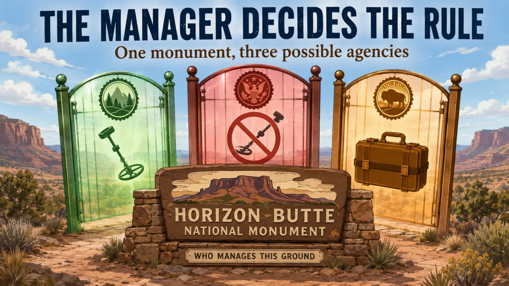
The Manager Matters More Than the Place Name
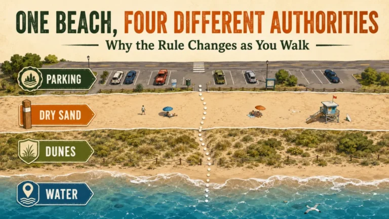
A sign that says national monument, national recreation area, reservoir, forest, or public land does not tell you which metal detecting rule applies. The same designation can include land administered by the National Park Service, Bureau of Land Management, Forest Service, Bureau of Reclamation, U.S. Army Corps of Engineers, another federal agency, a tribal authority, a state, or several managers divided across one mapped area. Applying the rule from the wrong agency can turn a confident answer into a serious mistake.
The first question is therefore not, “Is this federal land?” It is, “Who administers the exact ground under my coil?” I start with the official unit page and boundary map, then compare agency GIS data, parcel records, posted notices, and current closure or permit documents. If the lines or management status remain unclear, I contact the field office before bringing detecting equipment onto the parcel.
The broader guide to checking parks and public land before detecting covers the general permission process. This article narrows the question to National Park Service areas, Bureau of Reclamation lands and waterbodies, ARPA, Indian lands, and the resource conditions that should make a detectorist stop immediately.
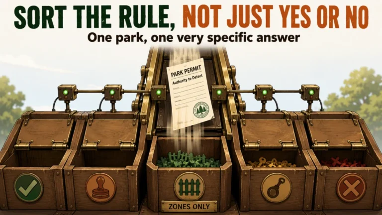
Manager-First Federal Restriction Flowchart
Use this decision path before interpreting a detector rule, permit page, or recreation map. Each step must be answered for the exact parcel, not merely for the surrounding destination.
- Identify the exact location: Mark the intended search area without publishing sensitive historical coordinates.
- Identify the land manager: Check whether the parcel is administered by NPS, Reclamation, BLM, the Forest Service, USACE, another federal agency, or a tribal authority.
- Confirm the boundary: Determine whether roads, shorelines, islands, easements, inholdings, or adjoining parcels change jurisdiction within the area.
- Read the agency-wide rule: Check whether possession, use, searching, digging, or removal is prohibited or permit-controlled.
- Read the local rule: Review the current unit order, superintendent’s compendium, closure, recreation plan, special-use designation, and permit instructions.
- Classify the purpose: Separate mineral prospecting, lost-item recovery, utility work, scientific work, and searching for historical objects.
- Screen for protected context: Stop if the setting suggests an archaeological site, burial, sacred location, shipwreck, historic structure, foundation, or artifact scatter.
- Get written confirmation when required: Do not treat an unlocked gate, public road, recreation map, verbal rumor, or past detector use as authorization.
If any step remains unresolved, the decision is not “probably allowed.” The correct field response is to keep the detector packed, contact the manager, and resolve the boundary and activity in writing when possible.

Garmin eTrex 32x is a handheld GPS navigator with a 2.2-inch sunlight-readable color display. It comes with TopoActive maps and supports GPS and GLONASS satellite systems. It also includes 8 GB of internal memory, a microSD card slot, a 3-axis compass, and a barometric altimeter.
Check On AmazonIf you click this link and buy, we earn a commission at no additional cost to you.
National Park Metal Detecting Under 36 CFR 2.1
For areas administered by the National Park Service, 36 CFR 2.1 generally prohibits possessing or using a mineral or metal detector, magnetometer, side-scan sonar, other metal detecting device, or subbottom profiler in a park area. The rule is broader than a ban on digging. A detector that is assembled and ready for use can create a possession problem even if the coil never touches the ground.
The regulation contains narrow exceptions. It does not apply when the device is broken down and stored or packed to prevent its use while in the park area, when electronic equipment is used primarily for safe boat or aircraft navigation, or when detecting equipment is used for authorized scientific, mining, or administrative activities. Those exceptions do not create a general hobby permission, and an operator should not assume that keeping the detector in a vehicle satisfies the stored-transport condition unless it is packed to prevent use.
Warning: Do not carry an assembled detector into an NPS-administered area merely because you intend to stay on a trail or avoid digging. The regulation addresses possession as well as use.
NPS rules also protect natural, cultural, archaeological, mineral, and structural resources from unauthorized possession, removal, digging, disturbance, or damage. A permission to enter, hike, camp, fish, or boat does not create permission to search with a detector or disturb resources.

The Minelab carry bag uses reinforced canvas with padding to protect metal detecting equipment during storage and transport. It is designed to accommodate a wide range of metal detectors. An exterior zippered pocket provides additional space for accessories such as diggers and headphones.
Check On AmazonIf you click this link and buy, we earn a commission at no additional cost to you.
Apply the NPS Rule Only Where NPS Is the Manager
The strict NPS detector rule applies to park areas administered by the National Park Service. It should not be copied automatically onto every federal parcel carrying a recreational or conservation designation. Some national monuments are managed by BLM, the Forest Service, the Fish and Wildlife Service, the military, or more than one agency. National recreation areas can also contain federal, state, local, tribal, or private parcels under different management arrangements.
This distinction does not mean non-NPS land is automatically open. It means the next rule must come from the actual manager. A BLM-managed monument may have an agency resource-management plan, archaeological closure, withdrawal, special recreation rule, or site-specific order. A co-managed monument may change rules across an internal boundary that is not obvious on the ground.
Key point: The designation describes the place. The administering agency and exact parcel determine which regulations and orders govern the activity.
Check the official management page rather than relying on a search-result title or a general recreation map. If two agencies share the unit, ask which agency administers the precise search location and whether another resource law or local order adds restrictions.
Bureau of Reclamation Metal Detecting Rules Are Separately Restrictive
43 CFR 423.29 governs natural and cultural resources on Bureau of Reclamation facilities, lands, and waterbodies. It prohibits destroying, injuring, defacing, removing, searching for, disturbing, or altering protected natural or cultural resources, including abandoned buildings and structures, except as allowed by the regulation and other applicable law. The rule also restricts walking on or traversing cultural resources unless specifically allowed in a designated special-use area.
The same section generally prohibits possessing a metal detector or other geophysical discovery device and using such equipment to locate or recover subsurface objects or features on Reclamation lands. The stated exceptions include transporting, but not using, the device in a vehicle on a public road as allowed by applicable law, and use allowed by a permit issued under the applicable Reclamation permit provisions.
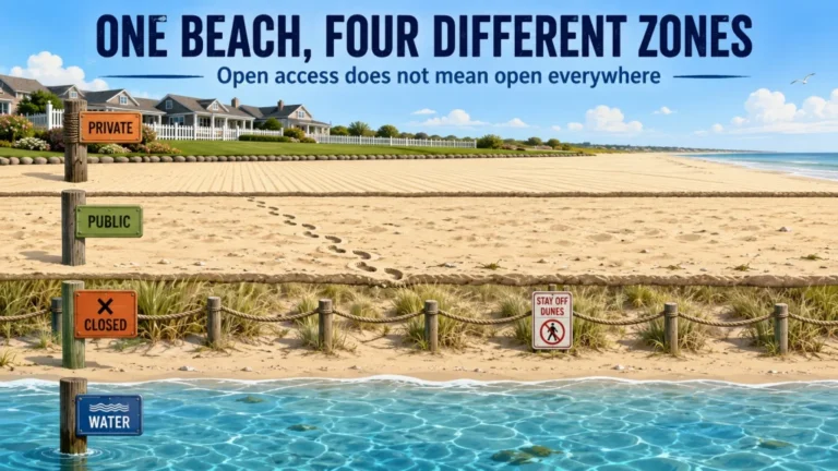
A reservoir shoreline can be especially confusing because the water, exposed bed, recreation facilities, adjoining federal land, state-managed areas, and private parcels may not share one manager. Low water exposing new ground does not erase the Reclamation rule or transfer ownership of objects in the exposed area.
Before visiting a Reclamation property, confirm the land status with the project or area office and ask about the exact activity. “Can I bring a detector?” and “May I search for and recover a recently lost personal item at this location?” are different questions, and neither should be answered by assuming that public recreation access includes detecting.
What ARPA Metal Detecting Restrictions Actually Cover
The Archaeological Resources Protection Act protects archaeological resources located on federal public lands and Indian lands. It is not a universal prohibition on ordinary private land, and it does not make every federal-land activity identical. The relevant questions are whether the land falls within ARPA’s jurisdiction, whether the material qualifies as an archaeological resource, whether the activity is authorized, and whether another agency rule is already more restrictive.
ARPA prohibits unauthorized excavation, removal, damage, alteration, or defacement of protected archaeological resources, including attempts to perform those acts. It also addresses trafficking involving resources wrongfully removed under federal law and certain interstate or foreign transactions involving resources obtained in violation of state or local law. A detectorist should therefore think beyond the moment of digging: moving, selling, buying, exchanging, transporting, or receiving protected material can create separate exposure.
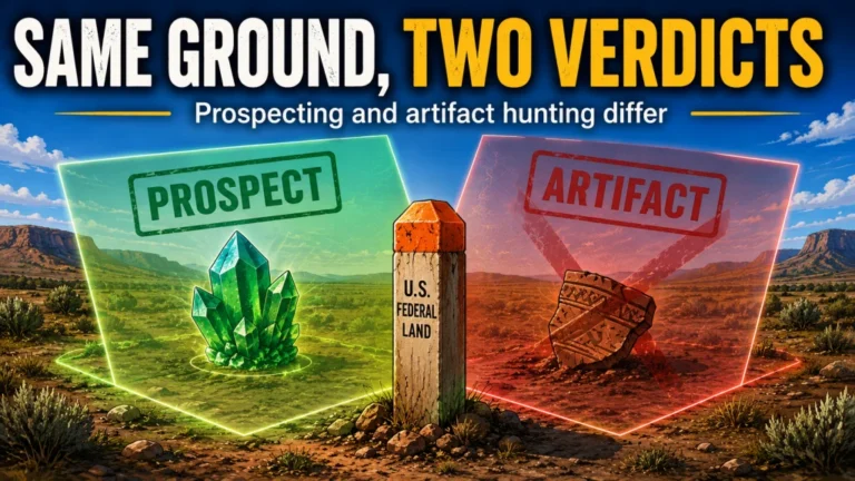
ARPA does not replace the agency’s detector rule. On NPS or Reclamation land, possession or use may already be prohibited before an ARPA analysis begins. On other federal public land, detecting for modern items or minerals may be treated differently from searching for historic artifacts, but that distinction must be confirmed under current agency rules and site orders.
The 100-Year Threshold Is Necessary but Not Sufficient
An archaeological resource under ARPA is a material remain of past human life or activity that is at least 100 years old and is of archaeological interest. Both parts matter. An object does not automatically become an ARPA archaeological resource on its one-hundredth birthday merely because it is old.
Archaeological interest means the material can provide scientific or humanistic understanding of past human behavior, cultural adaptation, and related subjects through scholarly methods. The definition also includes the site, location, and context in which physical evidence is situated. A fragment that appears ordinary by itself may become important when it lies within a structure, feature, artifact concentration, burial area, manufacturing site, campsite, or other archaeological association.
The safest field judgment is conservative when context is visible. A detectorist is not qualified to remove an object first and decide later whether the surrounding relationship mattered.
Coins, Bullets, Rocks, and Minerals Depend on Context
ARPA regulations state that coins, bullets, and unworked minerals and rocks are generally not considered of archaeological interest by themselves. The important qualification is that they may be treated differently when found in a direct physical relationship with archaeological resources. A bullet in random modern fill is not the same legal or scientific situation as a projectile within a battlefield feature, artifact scatter, structure, burial context, or documented occupation layer.
This rule is often oversimplified into “coins and bullets are exempt.” That is too broad. The exception concerns archaeological interest under ARPA’s regulatory definition; it does not override an NPS possession ban, a Reclamation detector restriction, another federal statute, a unit closure, state law, tribal law, ownership rules, or a prohibition on digging and removal.
Mineral prospecting also requires purpose discipline. Searching for naturally occurring minerals may fall under a different agency framework than hunting historical objects, but using the same detector does not make the two activities legally interchangeable. Confirm whether mineral entry, collecting, surface disturbance, closures, withdrawals, claims, and cultural-resource protections apply to the exact parcel.
Do Not Reduce Federal Exposure to One Penalty Number
Unauthorized excavation, removal, damage, alteration, defacement, attempted removal, and trafficking can trigger different criminal or civil provisions. The consequences may depend on the law used, the person’s knowledge and conduct, the value of the resource, restoration and repair costs, prior violations, forfeiture rules, and additional agency or state offenses. One dollar figure copied from an old park page cannot describe every case.
Equipment, vehicles, and recovered objects may also become relevant to enforcement or forfeiture, depending on the authority and facts. A small item does not necessarily create a small case when the excavation damages a feature, destroys context, involves human remains, or occurs after a warning or closure notice.
Warning: Do not use a penalty estimate as a risk budget. The proper question is whether the activity is authorized, not whether a possible fine seems affordable.
Because regulations, statutes, orders, and published agency guidance can change, confirm current authorities before publication and before the hunt. For a high-risk location or uncertain activity, obtain advice from the managing agency or a qualified attorney rather than relying on a hobby forum.
A Public Road Does Not Create Permission on Tribal or Indian Land
ARPA covers qualifying archaeological resources on Indian lands, and tribal law, property rights, permits, cultural protections, and federal rules may add further requirements. A road crossing a reservation, a public map layer, an unfenced turnout, or visible recreational use does not establish permission to leave the road, search, dig, or remove objects.
Ownership and authority can vary among tribal trust land, individually allotted trust land, fee land, rights-of-way, federal parcels, and state or county roads. A generalized map may not show enough detail to determine who can authorize the activity. Contact the tribal government, cultural-resources office, natural-resources office, or land office identified by the tribe, and involve the Bureau of Indian Affairs when the tribe or land status requires it.
Sacred places and cultural locations may be sensitive even when no artifact is visible. Do not request or publish exact locations merely to prove that a site exists. If permission is not explicit and issued by the proper authority, keep the detector off the land.
Stop Conditions That Override the Dig Decision
Some field signs should end the search immediately, even before the object’s age or value is known. The detector response is no longer the main issue when the surrounding ground suggests a protected site or when disturbance could destroy information that cannot be restored.
- Historic foundations, cellars, hearths, walls, earthworks, or structural remains.
- Concentrated ceramics, glass, metal fragments, bone, shell, charcoal, or worked stone.
- Graves, grave markers, burial pits, possible human remains, or funerary objects.
- Sacred locations, rock art, ceremonial features, shrines, or culturally restricted areas.
- Shipwreck timbers, fittings, cargo, armaments, or material concentrated around a submerged wreck.
- Objects embedded in an intact layer, feature, floor, trail, fire ring, mound, or midden.
- Posted archaeological closures, research areas, restoration zones, or signs restricting collection and ground disturbance.
Do not interpret the absence of a sign as permission. Archaeological sites are often unmarked, and agencies may withhold precise location information to protect resources from theft and damage.
What to Do When a Possible Protected Resource Appears
Stop swinging and stop digging. Leave the object where it is, avoid cleaning or rubbing it, and do not widen the hole to identify more material. If something has already been lifted unintentionally, do not carry it away or rearrange nearby objects to create a better photograph.
Protect the context without advertising it. Record enough general information to relocate the place for the manager, but do not publish coordinates, geotagged images, distinctive access routes, or a public post inviting others to investigate. Follow the managing agency’s current reporting procedure and describe what was observed, what disturbance occurred, and whether human remains or an immediate safety issue may be involved.
For possible human remains, do not touch anything further. Leave the area and contact the appropriate land manager or law-enforcement channel identified for the jurisdiction. The response can vary by federal, tribal, state, and local law, so a detectorist should not attempt an on-site age determination.

This pocket notebook uses weatherproof paper designed for outdoor fieldwork. Each notebook has 100 pages with a top-spiral format and an impact-resistant Wire-O binding. The Polydura cover helps protect field notes from scratches and stains during use.
Check On AmazonIf you click this link and buy, we earn a commission at no additional cost to you.
Scott’s Evidence Blueprint: Prove the Manager and Boundary
My surveying background taught me that a familiar place name is not a legal description. Before I treat a parcel as huntable, I work from the manager outward: official unit page, current boundary data, adjoining ownership, access route, local orders, and direct confirmation from the office responsible for the ground. A shoreline, road, trail, or monument boundary can cross several jurisdictions without giving a detectorist a visible warning at every transition.
I do not use an online map color as the final answer. Map layers can be generalized, old, or built for recreation rather than legal boundary work. I compare more than one official record, note the date, save the relevant rule or response, and ask a precise question that identifies the location and intended activity.
- Write down the official unit name and managing agency.
- Mark the intended area on an official map without distributing sensitive coordinates.
- Check adjoining parcels, inholdings, easements, roads, shorelines, and co-managed areas.
- Read the agency regulation and the current local order or compendium.
- Describe the purpose accurately: prospecting, modern lost-item recovery, or historical-object hunting.
- Ask whether detector possession, use, searching, excavation, and removal are each authorized.
- Keep the written reply or permit conditions with the trip records.
This is a land-research method, not a legal opinion. It reduces avoidable assumptions, but the agency or tribal authority responsible for the parcel makes the authorization decision.

Sea to Summit TPU Guide Map Case is designed to protect maps and documents from water and dirt. It uses welded construction with a ZipLoc top closure and includes a detachable neck strap. The PVC-free TPU material is flexible and resistant to UV exposure and extreme cold.
Check On AmazonIf you click this link and buy, we earn a commission at no additional cost to you.
Final Thoughts: Confirm the Parcel Before Carrying the Detector
Federal land is not one permission category. NPS areas can prohibit possessing or using a detector, Reclamation lands have their own possession and permit rule, and ARPA protects qualifying archaeological resources on federal public lands and Indian lands. National monument or recreation-area wording does not replace manager identification.
Before the hunt, confirm the agency, boundary, current unit rules, purpose, and resource context. During the hunt, stop at structures, artifact scatters, graves, sacred locations, shipwreck material, or any intact archaeological setting. The larger framework for finding legal places to metal detect starts with the same principle: productive ground is not usable ground until access and activity are both confirmed.
FAQs
🏞️ Can I carry a metal detector through a national park?
In an NPS-administered park area, 36 CFR 2.1 generally prohibits possession or use unless an exception applies. A device broken down and packed to prevent use is treated differently from an assembled detector, but confirm the current rule with the park before transport.
🗿 Are all national monuments governed by the NPS detector rule?
No. National monuments may be managed by NPS, BLM, the Forest Service, another agency, or multiple agencies. Identify the manager and exact parcel before applying any detector rule.
💧 Can I metal detect on an exposed Bureau of Reclamation reservoir bed?
Do not assume low water creates permission. Reclamation rules generally restrict possessing or using detectors on Reclamation lands and waterbodies except for stated transport and permit situations. Confirm the exposed parcel and activity with the project office.
📜 Does ARPA ban metal detecting on all federal land?
ARPA protects qualifying archaeological resources on federal public lands and Indian lands. It is not one universal detector-possession rule, but agency regulations, closures, permits, and other resource laws may separately prohibit the activity.
🕰️ Does every 100-year-old object count as an archaeological resource?
No. The material must be at least 100 years old and of archaeological interest. Its site, association, and physical context can be central to that determination.
🪙 Are old coins and bullets exempt from ARPA?
Coins and bullets are generally not treated as archaeologically interesting by themselves under the regulations, but direct physical association with an archaeological resource can change the analysis. Other agency rules may prohibit possession, searching, digging, or removal regardless.
🪶 Does a public road give me permission to detect on tribal land?
No. Road access does not grant permission to enter adjoining land, search, excavate, or remove objects. Obtain authorization from the proper tribal or land authority for the exact parcel and activity.
⚱️ What should I do if I uncover bones or a possible grave?
Stop immediately, do not touch or expose anything further, leave the area, and contact the appropriate land manager or law-enforcement channel. Do not post the location or try to determine age yourself.
Sources and References
- Electronic Code of Federal Regulations, 36 CFR 2.1: current National Park Service rule covering protected resources and possession or use of metal detecting devices in park areas.
- Electronic Code of Federal Regulations, 43 CFR 423.29: current Bureau of Reclamation rule for natural and cultural resources, detector possession, road transport, and permitted use.
- U.S. House Office of the Law Revision Counsel, 16 USC 470bb: ARPA definitions of archaeological resources, public lands, Indian lands, and the 100-year requirement.
- Electronic Code of Federal Regulations, 43 CFR 7.3: uniform ARPA definitions addressing archaeological interest, material context, coins, bullets, paleontological remains, and unworked rocks or minerals.
- U.S. House Office of the Law Revision Counsel, 16 USC 470ee: prohibited excavation, removal, damage, alteration, attempts, trafficking, and criminal provisions under ARPA.
- U.S. House Office of the Law Revision Counsel, 16 USC 470hh: confidentiality provisions for information concerning the nature and location of archaeological resources.
- National Park Service, Federal Land Managers of National Monuments: official list showing that national monuments may be administered or co-administered by different federal agencies.
- Bureau of Indian Affairs, Trust Land Acquisition: background on tribal trust lands and tribal control over land decisions.